Saltar al contenido principal
New York NEX
Home
Contact
Sports
Basketball
Football
Entertainment
Cambiar tema
Inicio
/
Natural Disasters
/
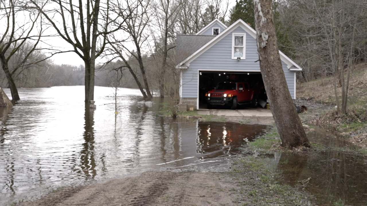
Critical Flooding Crisis: Croton Dam in Michigan Triggers Evacuation Orders
Critical Flooding Crisis: Croton Dam in Michigan Triggers Evacuation Orders
Editor
16 Apr, 2026
...
min lectura
Etiqueta:
#evacuation orders
Etiqueta:
#Croton Dam
Etiqueta:
#Muskegon River
Te puede interesar
Camp Mystic Tragedy Exposes Critical Flash Flood Risks in Texas Hill Country
Messi’s Israel: Beyond the Ball and the Badge
Peacock TV: NBC's Bold Move and the Streaming Wars